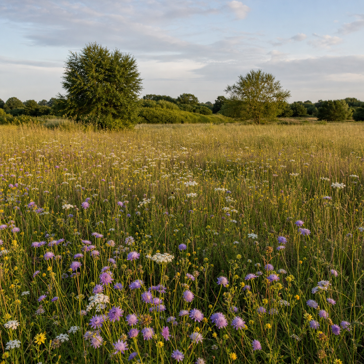
Wildflower Meadow
BioSquares × Nature Impact
Kensham, square by square.
A mapped nature-recovery project in Kent: one real boundary, its habitats, and the BioSquares units that can make funding visible over time.
67,260 underlying 1 m² BioSquares
Each 10 m display cell represents 100 underlying 1 m² units that can be assigned, funded, and reported.
Wildflower meadow · Kensham habitat layer
Nature Impact partnership
A landscape-led approach to nature recovery.
Nature Impact is the Kensham project partner. This short field film introduces the kind of habitat-bank work and place-based stewardship that informs the collaboration.
Provided with permission by Nature Impact. The film is a partner field story, not a claim that every shot is from Kensham.
Visit Nature Impact ↗01:26Nature Impact field film
Field layer
One place. Several habitat stories.
Display grid: 10 m × 10 m
Biodiverse Orchard
Wetland & Ponds · 653 m²
Total mapped boundary
Interactive site model
Explore the property in three dimensions.
Move through the drone-captured site model to see Kensham as a whole. This live project layer is hosted by Nature Impact in DroneDeploy.
Open the full viewer ↗Select the 3D control in the viewer toolbar to open the drone-captured mesh. On a phone, use the full viewer for the best controls.
Working contribution tiers
Make the project legible at the moment of choice.
These are the current working tiers from the draft collaboration context. Final allocation, remittance, and project terms remain subject to agreement.
Start a square
A first contribution toward the Kensham habitat layer.
Build the orchard
A contribution associated with the biodiverse orchard story.
Support the ponds
A contribution associated with the wetland and ponds story.